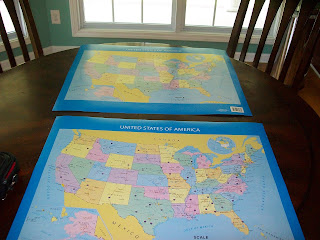
Step #1 I bought two maps. One to hang on his bedroom wall. Another to use in our progress.
Step#2 I grabbed our social studies book we are using, and used it to divide the states into the 5 geographic regions. This will save you time. Here they are :
Southeast: Florida, Georgia, Alabama, Mississippi, Louisiana, Arkansas, Tennessee, Kentucky, West Virginia, Virginia, North Carolina, South Carolina.
Northeast:Maryland, Delaware, New Jersey, Pennsylvania, New York, Connecticut, Rhode Island, Massachusetts, New Hampshire, Vermont, Maine.
 Middle West: Ohio, Indiana, Michigan, Illinois, Wisconsin, Minnesota, Iowa, Missouri, Kansas, Nebraska, South Dakota, North Dakota.
West:Montana, Nevada, Colorado, Utah, Idaho, Washington, Oregon, California, Wyoming
Southwest: Arizona, New Mexico, Texas, Oklahoma
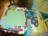
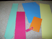
 Step #3: I used five different colors of scrap paper to separate the states into regions. I chose pink for the southeast, green for the northeast, blue for the middle west, yellow for the west, and orange for the southwest.
 Step #4 I cut the paper into 1/4 inch strips.
Step #5: I cut the strips to cover the names of states: Some double decker names may need a 1/2 inch strip. Tape the colored paper
over the names so your child can lift the paper to self check as he/she studies.

Then, viola, you are ready to study the Fifty Nifty United States..... sorry, I burst into show tunes often.


This comment has been removed by a blog administrator.
ReplyDelete